- Teacher: Admin User
indiangeographer.gnomio.com
-
Welcome to your new Gnomio site
Now, you are in control!
Moodle is an open-source Learning Management System (LMS) that provides educators with the tools and features to create and manage online courses. It allows educators to organize course materials, create quizzes and assignments, host discussion forums, and track student progress. Moodle is highly flexible and can be customized to meet the specific needs of different institutions and learning environments.
Moodle supports both synchronous and asynchronous learning environments, enabling educators to host live webinars, video conferences, and chat sessions, as well as providing a variety of tools that support self-paced learning, including videos, interactive quizzes, and discussion forums. The platform also integrates with other tools and systems, such as Google Apps and plagiarism detection software, to provide a seamless learning experience.
Moodle is widely used in educational institutions, including universities, K-12 schools, and corporate training programs. It is well-suited to online and blended learning environments and distance education programs. Additionally, Moodle's accessibility features make it a popular choice for learners with disabilities, ensuring that courses are inclusive and accessible to all learners.
The Moodle community is an active group of users, developers, and educators who contribute to the platform's development and improvement. The community provides support, resources, and documentation for users, as well as a forum for sharing ideas and best practices. Moodle releases regular updates and improvements, ensuring that the platform remains up-to-date with the latest technologies and best practices.
Links of interest:
(You can edit or remove this text)
Available courses
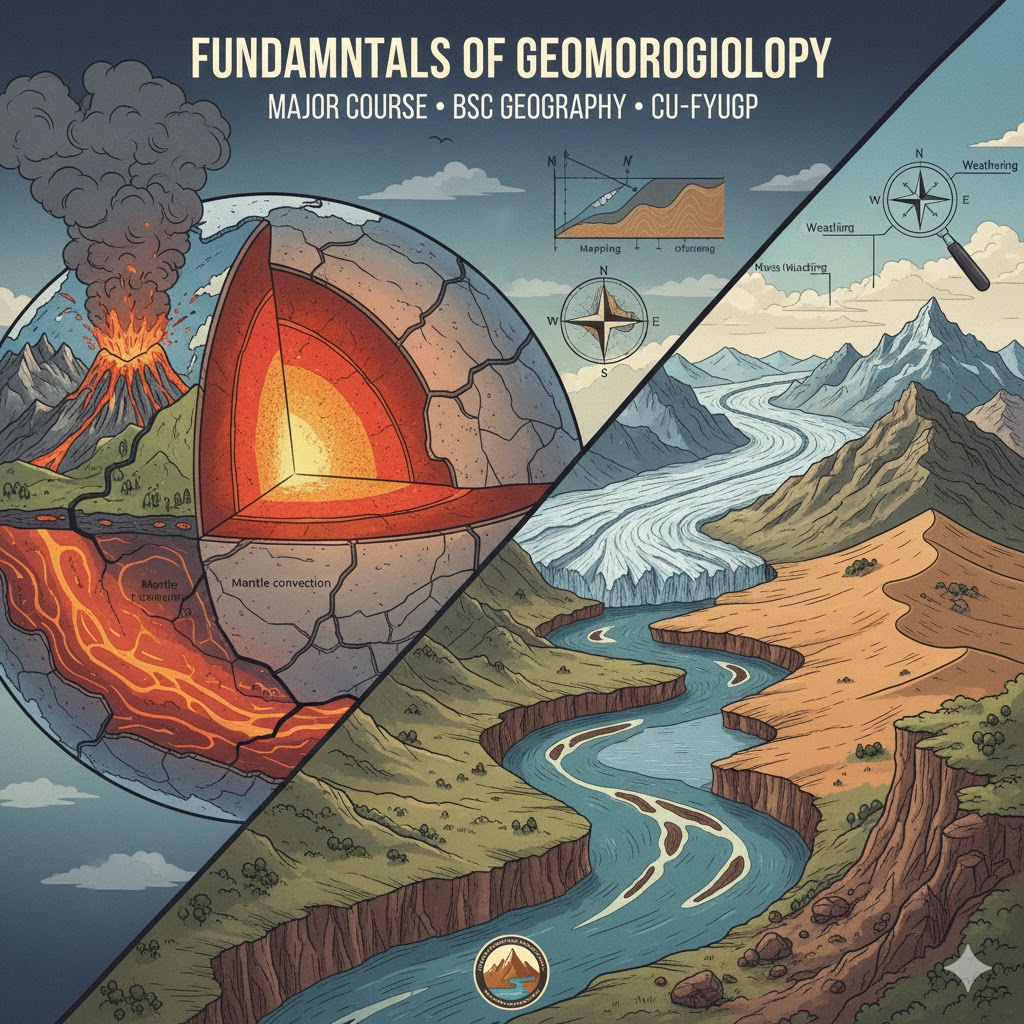
The Course is designed based on the MSc Geography Syllabus of University of Calicut
- Teacher: Admin User
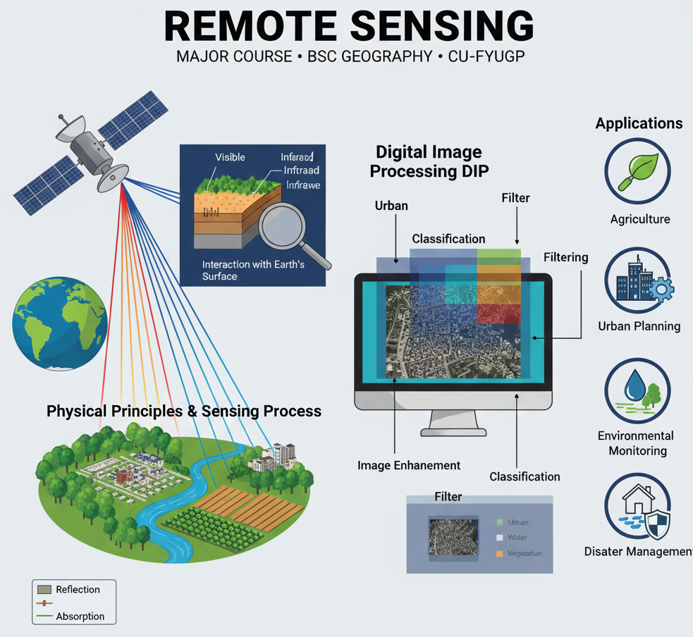
The course, Remote Sensing (Major Course with Practical for BSc Geography, IV Semester, CU-FYUGP), is a critical component of modern geographic analysis, designed to equip students with the knowledge and technical skills to observe and analyze the Earth's surface from a distance.
Remote Sensing is the science and art of acquiring information about an object or phenomenon without making physical contact. This course offers a comprehensive and integrated approach to understanding the entire process, moving from theoretical concepts to practical, real-world applications.
The program is structured to provide a strong foundation in both the principles and techniques of this geospatial technology:
-
Physical Principles: The course begins by explaining the physical principles and sensing process behind Remote Sensing. This includes a detailed study of the fundamentals of electromagnetic radiation (EMR) and its interaction with the Earth's surface, which is the basis for all data collection. * Instrumentation: Students will gain an understanding of the components of a remote sensing system, including various sensors and the platforms (satellites and aircraft) used to capture data.
-
Digital Image Processing (DIP): A significant focus is placed on digital image processing techniques. Students will learn the methodologies necessary to extract valuable information from raw data, including image enhancement, filtering, and classification.
- Teacher: Admin User